Advancement of technology day-by-day is taking away burden from humans and making our daily activities even more effortless. Now Google Features AR to a new level by improvising Google Maps. The technology is penetrating our daily activities and changing the way we perceive things, such as communication, vision, shopping, and more. Augmented reality has been considered as the emerging technology that may overtake its close associate, virtual technology. AR is simply a technology that enables the display of audio, graphics, text, etc.

There is no doubt that the upcoming development of AR will transform the whole world into a new way. Google is reaching in each segment to offer its varied services and its artificial intelligence is known worldwide. Famous apps by Google, such as Google Earth and Google Maps are two exceptional examples that Google set for us to understand the technological advancement they have successfully achieved over the years.
Talking about Google earth, it is an app in which you can orbit different places of the earth through any angle and Images are provided directly by the satellite. Google maps has been constantly transformed right from its first update and today it is capable of navigating step by step along with voice assistant that gives the users a rich experience.
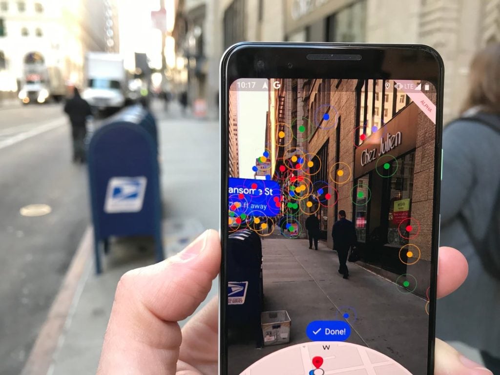
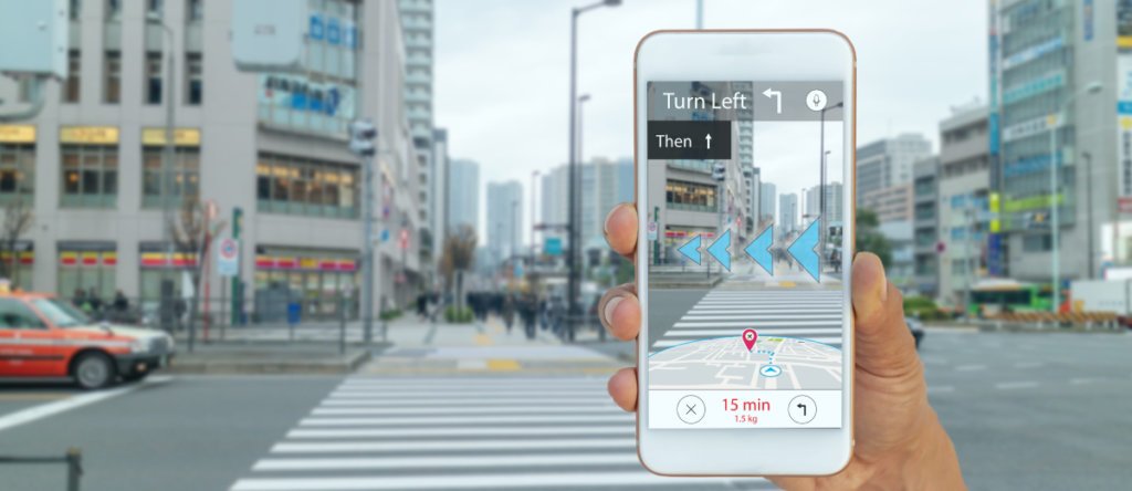
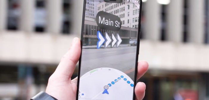
It will be no surprise if Google features AR in its Google maps to give a real view of streets and roads. Google is working on AR to provide real-time directions with the help of a camera to locate particular places on the Smartphone screen. Arrows will be displayed on the screen that shows turns and will tell you about where you are going.

This technology eases users to locate places more accurately in crowded areas. This will help millions of people who find the exact location in unfamiliar places. Currently, this feature is in alpha testing to find out bugs and issues so, that it can be reprogrammed before launching it on various platforms. A smartphone that supports either ARkit or ARCore can try the combination of AR mode and Google maps.
The extensive use of AR is becoming a significant part of human life and the right usage of such technology also play an important role in transforming navigation in real life. Google is ready to set an example by showcasing one of its biggest innovations that will serve humanity to the best. There are many advantages of using this brilliant concept of augmented reality in navigating locations. We are hoping to see that Google’s database will cover as many locations as it can and many interesting innovations are yet to come shortly.
Google Features AR in Google Maps
Google Maps has got a new Logo

Google explains the design change in a blog post:
“It’s based on a key part of Google Maps since the very beginning—the pin— and represents the shift we’ve made from getting you to your destination to also helping you discover new places and experiences.”
New Features
Starting today, the Google Maps app for iOS and Android will have new navigation tabs at the bottom of the screen. These include:
- Explore: Quick access to information, ratings, reviews and more for nearby places.
- Commute: Set up your daily commute to get real-time traffic updates, travel times, and suggestions for alternative routes.
- Saved: View all of your saved spots in one convenient place,
- Contribute: Quickly contribute to Google Maps by sharing local knowledge about roads, addresses, missing places, business reviews, and photos.
- Updates: This tab includes a feed of the trending, must-see spots from local experts and publishers.
Upcoming Features
Google previewed some upcoming Maps features that will be rolling out in March. These include insights about your chosen route based on information contributed by other users.
After choosing a route, you’ll be able to see details such as:
- Temperature: Check if the temperature is considered colder or warmer than usual.
- Accessibility: Find public transit lines with staffed assistance, accessible entrance and seating, accessible stop-button or hi-visible LED.
- Women’s Section: In regions where transit systems have designated women’s sections or carriages, Google Maps will help surface this information.
- Security Onboard: Find out if security monitoring is on board—whether that’s with a security guard, installed security cameras, or an available helpline.
To make these features more helpful to everyone, Google Maps users will be invited to participate in a short survey about their experience on recent trips.


